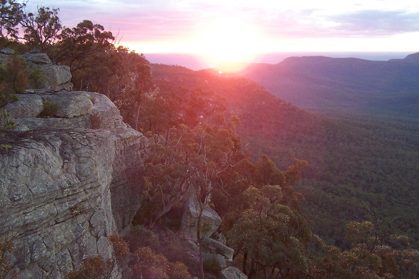
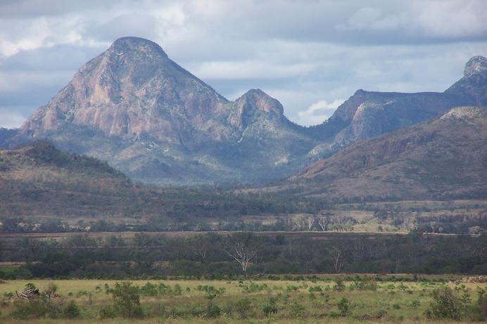
The mass of rock rears up from the surrounding plains like an enormous fortress, its ramparts soaring over 600 metres into the hot blue sky. The sense of the weight of all that rock looming above is overwhelming. Driving into town, the towering sandstone cliffs rising above dense black forest were glowing blood red in the last rays of yet another stunning Australian sunset.
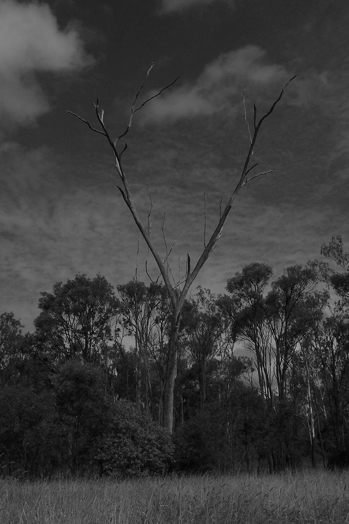
The Blackdown Tableland. In Asia there'd be shrines on the top. In NZ, directors filming hobbits. In the US, queues of campervans, assorted hot dog stands, gift shops and a "Tableland Experience" virtual reality exhibition. But this is Australia, so there's a small camp ground, kilometres of deserted walking tracks leading to views of waterfalls, vast gorges and even higher cliffs on the other side, and very few people.
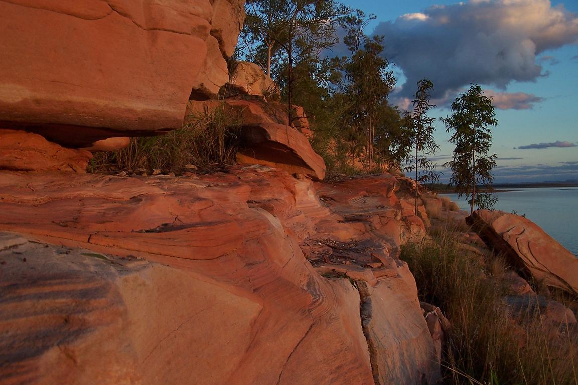
The plains are flat and dry for at least fifty kilometres in every direction, and about 200m above sea level. The Tableland is a massive block of sandstone about 20km long, sticking straight up out of the plains, and topping out at 890m. Most sides are vertical, and there are, naturally, some pretty gobsmacking views from the top. It's cooler than the plains and damper, with waterfalls, fern-lined gullies, and cliffs often over 300m high. On a clear day you could probably see 100km. I stayed up there until dark, watching the sunet from a chunk of rock dangling over the western edge. I took heaps of photos, but found it hard to capture the sheer scale of the place.
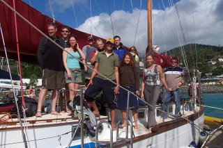
The excuse to go driveabout was rain. Our hitch started last Monday, but it was raining, so we waited until Tuesday. Still raining, and the ground was turning to mud and the tracks were impassable. By Wednesday the drillers had decided to put off the start of the hitch until tomorrow (Tuesday) in an effort to let the ground dry, so I was sent off for a few days with the Courier 4x4. Yippee!
(You might think that on flat ground a bit of rain wouldn't cause problems, but most of the non-bitumen (Aussie for unsealed) roads are scraped dirt. The clays get incredibly slippery once wet, and 4wds cut up the tracks something awful - cue 1 grumpy farmer. And the drillers need to get their 30+ tonne trucks in and out, and those babies, once stuck, are really, really stuck).
Most of the Highlands are flat, or very gently rolling, so anything sticking up is some sort of geological anomaly. On the first day I found a range of volcanic plugs called the Peak Downs Range, ranging from triangular mountains (I'll call them that) sticking up from the plains, to a large Mesa called the Lord's Table, which I climbed. No walking track, so just straight up the side. I couldn't get right to the top thanks to 30m cliffs ringing the plateau, but it was a good spot for lunch.
Next stop was the Queensland gemfields (more geology) where you can go through an underground sapphire mine and fossick for gems. I stayed in Rubyvale overnight. Incidentally the gemfields are right on the Tropic of Capricorn, so one side it's palm trees, the other it's penguins. Sort of...
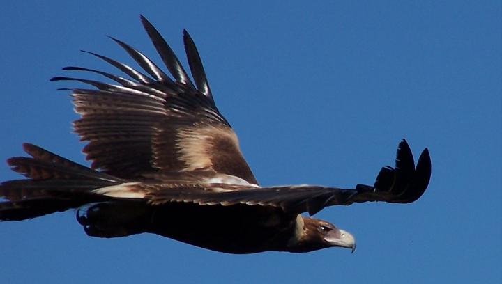
The next afternoon and night were spent in Emerald, and I got some shots of the sun setting over the local reservoir (three time the size of Sydney Harbour, so they say). The next day was spent climbing in the Minerva Hills an hour south. More great views, including an eagle which circled only a few metres over my head. And then on to the Blackdown Tableland, the last, highest point of the trip.
I can't wait to pick up my camping gear - Carnarvon Gorge NP is only another hour south from the Minerva Hills, and camping's the best way to see it. And then there's Eungala NP (near Mackay), the Undara lava tubes (only 815km!), Uluru, Kakadu...